
Video
What Sticks After a Three-Minute Tour of New Zealand’s Geography
Melvin Maya’s reaction is less about spectacle than retention: the video compresses New Zealand’s volcanoes, islands, cities, rivers, and history into a compact lesson that is easy to revisit.
Load the YouTube player to watch here. YouTube receives technical information when its player loads. This does not enable this site's analytics or marketing tracking.
Watch on YouTube ↗A short geography lesson that still leaves an impression
The direct answer to this video is simple: Melvin Maya comes away from the New Zealand explainer with a few clear takeaways about how the country is put together. The lesson is not presented as a deep academic breakdown. It is a fast, compressed tour of the islands, the landscapes, and the broad historical arc that shaped the country. That is exactly why the reaction works. Melvin is not trying to turn it into something bigger than it is. He is responding to how much the video manages to hold in under three minutes and what details seem likely to stay with him after the clip ends.
That matters because New Zealand can easily be reduced to a map-shaped afterthought in casual viewing, and the video pushes back on that idea by showing how distinct the country is once you start naming its parts. Melvin’s comments make it clear that the geography lesson gives him something practical: a way to organize the country in his head.
Why the North Island gets framed as volcanic and urban
One of the clearest threads in the video is the North Island’s identity. The explainer presents it as the place where New Zealand’s volcanic activity is easiest to see, starting with the country’s position near the Ring of Fire and moving into specific features like dormant and active volcanoes, the volcanic plateau, and Lake Taupo. The point is not just that the island has mountains or lakes. It is that the geology itself helps define the region.
Melvin responds to that by treating the information as something he can actually remember. He notes that repeated exposure helps the facts sink in, and this video seems to give him a cleaner mental map of the country than a single, dense lecture would. The North Island is not just “the northern half.” In the video, it becomes the more geologically dramatic half, tied to volcanism and to the country’s biggest urban centers.
That urban side matters too. Auckland and Wellington are presented as the major population and political anchors, and the video places them within the same frame as the island’s physical geography. In other words, the explainer connects the shape of the land to the shape of national life. Melvin does not overstate that connection, but he does seem to appreciate the way the video makes the island legible through both nature and city life.
The South Island’s scale, mountains, and water systems
The South Island is where the explainer shifts into a different mood. If the North Island is about volcanic activity and major cities, the South Island is about size, remoteness, and dramatic terrain. The video describes fjordland-like coastlines, the Southern Alps, glacier-fed lakes, and the Canterbury plains. That contrast gives the island a more rugged, spread-out identity.
Melvin’s reaction suggests that the South Island leaves a strong impression because it feels structurally different from the North Island. The video is not simply listing landmarks. It is explaining how the landscape works as a system: mountains rise inland, glaciers feed long lakes, and water runs downhill into rivers that matter for power generation. That makes the geography feel useful rather than decorative.
The hydropower section is especially memorable in Melvin’s recap. He brings up the rivers and the electricity they help produce, treating that detail as one of the main things he pulled from the video. Even without turning it into a technical discussion, the reaction shows why this kind of information sticks: it connects the land to everyday infrastructure. The mountains are not only scenic; they are part of how the island functions.
A history thread running through the landscape
The video also folds history into the geography lesson. It moves from early Polynesian settlement to Māori life, then to European contact, British mapping, immigration, and self-governance. That sequence is brief, but it gives the country’s physical story a human timeline.
Melvin explicitly responds to this part as something he has heard before but benefits from hearing again. He says repetition helps the information settle in, which is a fair summary of what the video is doing: not reinventing the story, but tightening the narrative around the same key points. The result is a compact overview that links land, settlement, and political change without getting bogged down.
What stands out is that the history is not separated from the geography. The islands are described as among the last places settled by humans, and then the later European presence is tied to mapping, missionary activity, immigration, and governance. The geography is the backdrop, but it is also the reason the story unfolds the way it does.
What Melvin seems to retain from the lesson
Melvin’s closing comments are useful because they reveal what a short explainer like this can actually do. He does not pretend to have absorbed every fact. Instead, he talks about which pieces are starting to stick: the power grid detail, the rivers, the repeated historical beats, and the broader sense of how New Zealand is divided between two very different islands.
That makes the reaction feel grounded. He is not reviewing the video as if it were a grand documentary. He is measuring whether it gave him enough to build memory around. On that score, the answer seems yes. The quick pace helps, because there is little room for drift. The viewer gets a compact set of categories: volcanoes, cities, straits, mountains, glaciers, rivers, settlement, and governance.
For someone learning the country from scratch, that structure matters. It is easier to remember New Zealand as a place with a volcanic north, a mountainous south, and a history shaped by successive waves of arrival than as a stack of disconnected facts.
Why this format works for a quick first pass
This reaction also shows the value of a short explainer when the goal is orientation rather than mastery. Melvin seems to like that the video is brief enough to move quickly while still giving him enough context to connect earlier things he has heard about New Zealand. That is probably the biggest editorial value of the piece: it works as a reset point.
Instead of drowning in detail, the video organizes the country into memorable contrasts. Instead of presenting history in isolation, it ties that history to place. And instead of treating geography as a list of names, it gives the viewer a sense of how New Zealand’s landforms and settlements fit together.
For Melvin, that is enough to make the reaction worth a watch. It gives him a few facts he can hold onto, a few terms he can revisit, and a clearer sense of what makes New Zealand visually and geographically distinct.
Watch the original video on YouTube ↗
All About The Life
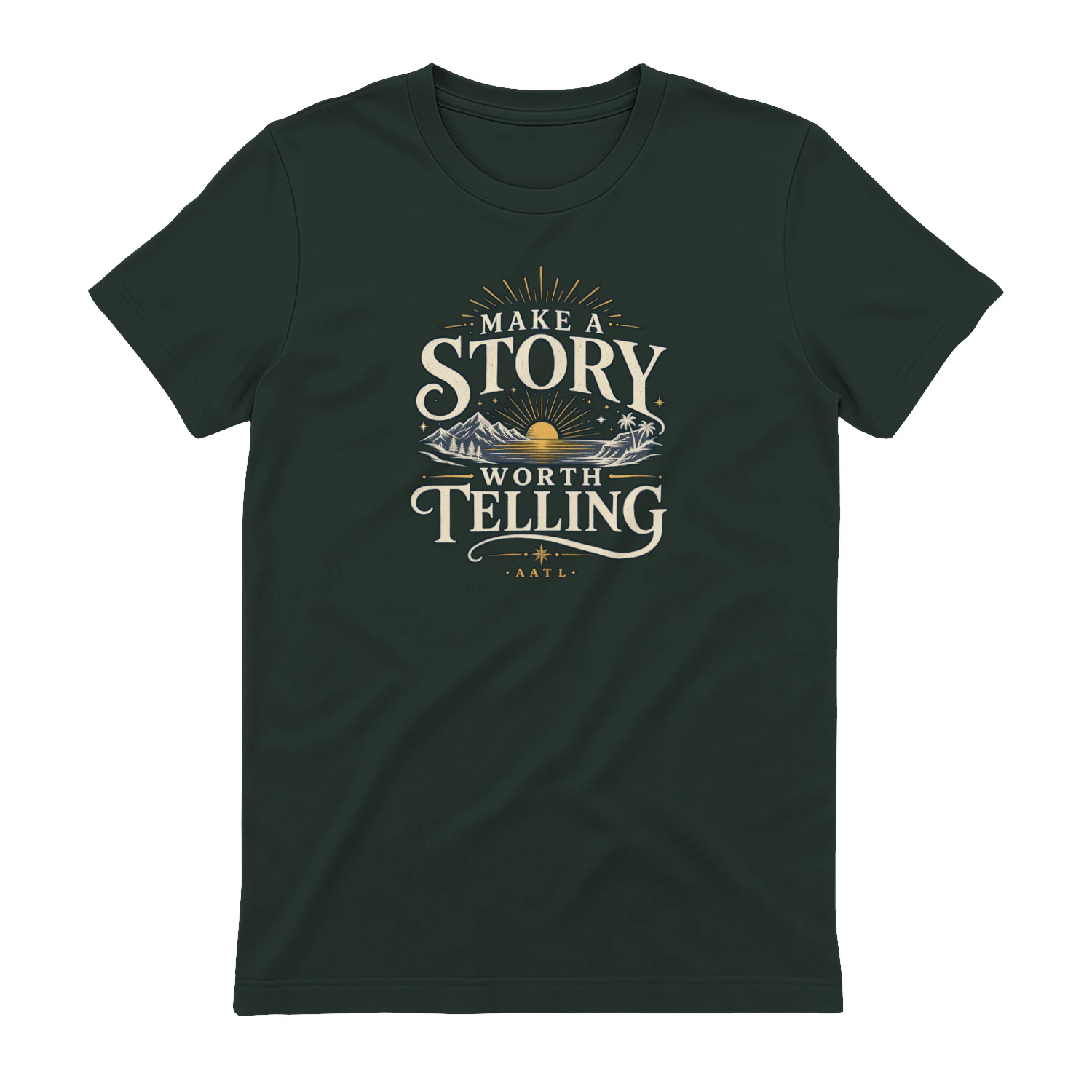
Make A Story Worth Telling
A scenic vintage-inspired design that encourages you to “Make A Story Worth Telling.” Mountains, water, sunset, and tropical details give it an adventurous feel that’s perfect for travelers, explorers, and anyone who wants a life filled with moments worth remembering.