
Video
Why Peru’s Geography Feels So Extreme in Melvin Maya’s Latest Reaction
Melvin Maya reacts to a geography video that keeps revealing another layer of Peru: desert coast, high Andes, Amazon basin, seismic risk, and biodiversity packed into one country.
Load the YouTube player to watch here. YouTube receives technical information when its player loads. This does not enable this site's analytics or marketing tracking.
Watch on YouTube ↗Peru’s landscape keeps changing before the viewer can settle on one image
Melvin Maya’s reaction to Peru’s geography is built on a simple experience: every time the video seems to establish one version of the country, another one appears. The coast is dry. The mountains are high. The rainforest is still part of the same national map. Then come the climate zones, the altitude records, the seismic risks, and the biodiversity numbers. By the end, the main impression is not just that Peru is geographically interesting, but that it contains several different geographic identities at once.
The direct answer is that Peru feels so extreme because its land stretches from a narrow desert coast into the Andes and then down into rainforest and lowland ecosystems. That compressed layout is what keeps producing the surprises in the video, and it is also why Melvin keeps stopping to process what he is hearing.
A coast squeezed between the ocean and the Andes
One of the first things that stands out in the video is how little room Peru has between the Pacific Ocean and the Andes Mountains. The mountain chain covers the western side of the country, leaving a thin strip of land along the coast. That strip is where Lima sits, and the video emphasizes just how large the metropolitan area is. Melvin reacts strongly to that detail because it feels counterintuitive: a huge population concentrated in such a narrow place, and in a desert environment at that.
That contrast matters. Peru is not laid out in broad, simple bands. Its coast is dry, cramped, and heavily populated in places, while the terrain changes rapidly as the elevation rises. The video uses that shift to show how geography can shape settlement. The land is not simply background scenery; it helps explain why people live where they do.
What the mountains mean for life, water, and settlement
The Andes are the backbone of the video. As the elevation rises, the temperature drops, and the landscape changes from grassland to tundra, then to subtropical forest and rainforest at lower elevations on the other side. That sequence gives Peru a kind of compressed vertical geography: different environments stacked on top of one another.
Melvin’s reaction makes clear how unusual that feels when it is laid out step by step. He keeps flagging facts that he did not know before, including the role of the mountains in shaping agriculture. The video points to terrace farming as one of the ways people adapted to the slopes, growing different crops at different elevations depending on what each level supports best.
That adaptation is one of the strongest ideas in the piece. Peru is not just dramatic terrain; it is terrain that people have learned to work with. The Andes are presented as both a barrier and a system people have built lives around.
From Amazon access to altitude records
The video then shifts east, where the geography changes again. Peru contains a significant portion of the Amazon rainforest, and Melvin openly reacts to learning that Brazil is not the only country strongly associated with the rainforest. He is surprised to hear how much of Peru’s population lives outside that zone, and especially by the city of Iquitos. The city is described as accessible only by river and air, which turns it into one of the most striking urban facts in the video.
That detail gives Peru another layer: not only a country of mountains and coast, but a place where major population centers exist in hard-to-reach environments. The video also mentions the highest town in the world, located at about 5,100 meters in elevation. Again, the reaction is less about shock for shock’s sake and more about how Peru keeps producing records that sound almost unreal.
The same is true for Lake Titicaca, which is described as the world’s highest major body of navigable water. The video does not treat these as isolated curiosities. Together, they build the case that Peru’s elevation profile is a defining feature of the country.
Earthquakes, volcanoes, and the forces under Peru
The geography video does not stay on the surface. It also brings in tectonic forces, explaining that the Andes were created by the subduction of the Nazca plate beneath the South American Plate. Melvin responds to those facts with the kind of curiosity that shapes the whole reaction: he is not just hearing about a mountain range, but about the movement underneath it.
That subterranean story leads into Peru’s earthquake and volcano profile. The video says Peru sits in a convergent boundary zone and is part of the Ring of Fire. It also notes that the country has multiple volcanoes, some active. Melvin’s commentary here leans into scale again, especially when the video discusses the destructive earthquakes and avalanches connected to the region.
This section matters because it shows that Peru’s geography is not only visually dramatic. It is active. The land is shaped by forces that continue to matter in the present tense.
Why Peru stands out for biodiversity
The final third of the video broadens the frame from landforms to living systems. Peru is described as one of the most biodiverse countries in the world, with large numbers of bird species, butterflies, fish, and shellfish. Melvin seems especially engaged by this part because it ties the physical geography back to ecological variety. The same changes in elevation and climate that make the country surprising on a map also help explain the variety of life within it.
The video links that biodiversity to Peru’s coast as well, especially through the Humboldt Current and its effect on marine life. That gives the country a rare combination: rich land ecosystems and productive waters. The geography does not just create scenery. It creates conditions for living systems that are unusually varied.
For viewers asking what makes Peru so different, this is the answer the video keeps building toward. The mountains, coast, rainforest, and currents all interact. The result is a country with more geographic range than its size might suggest.
A country that compresses several climates into one map
What makes Melvin’s reaction work is that he never treats these facts like a dry checklist. He responds the way many viewers would: by comparing Peru’s surprises to what they already assumed about the country, then having those assumptions disrupted one by one. Lima’s population, the Amazon access, the highest town, the Lake Titicaca fact, the tectonic setting, the biodiversity—each reveal changes the picture.
That is the larger takeaway from the video. Peru is not just a country with mountains or a country with rainforest. It is a place where geography becomes layered, vertical, and difficult to flatten into a single category. The coast, the Andes, the Amazon, and the ocean each play a role in shaping it.
Watch the original video on YouTube ↗
All About The Life
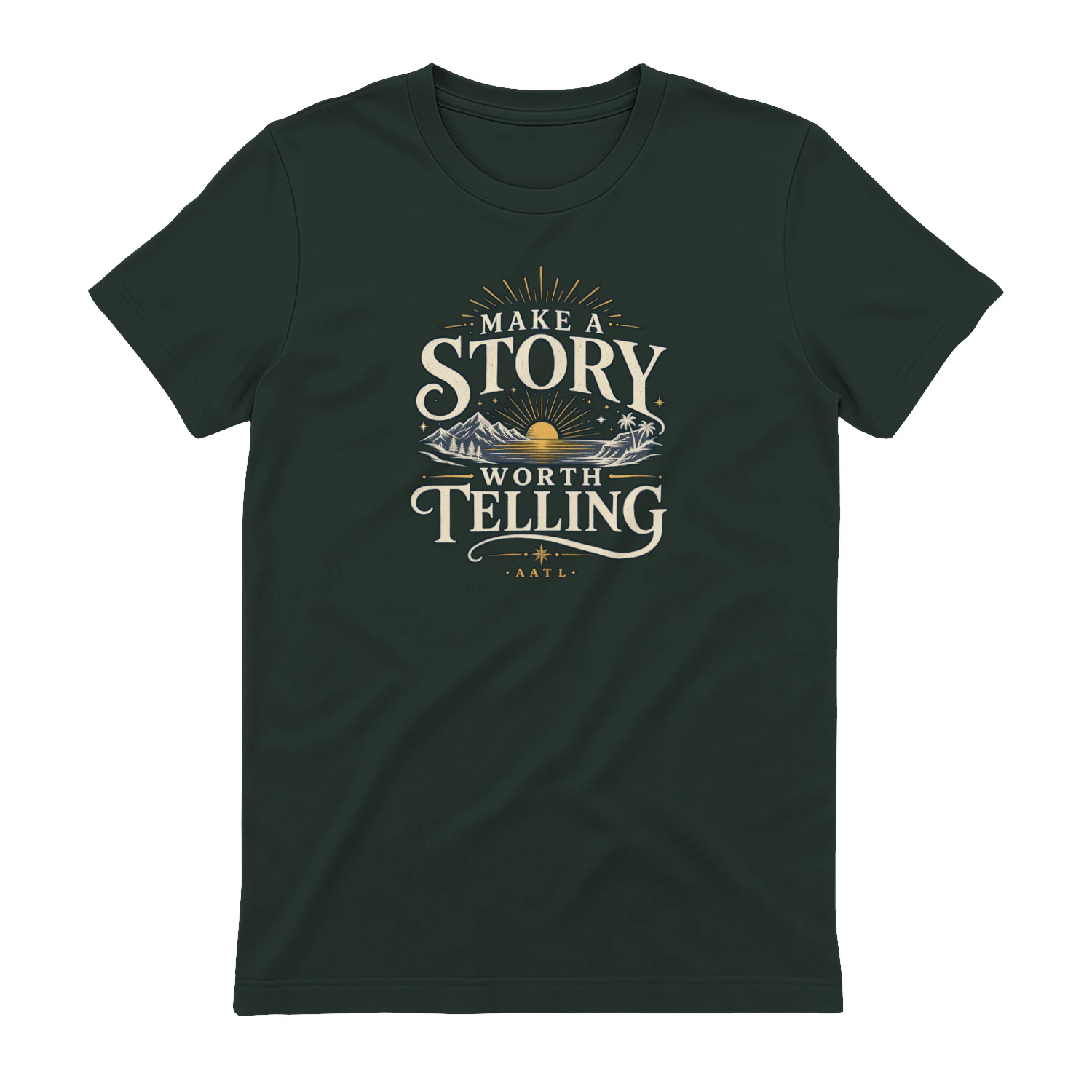
Make A Story Worth Telling
A scenic vintage-inspired design that encourages you to “Make A Story Worth Telling.” Mountains, water, sunset, and tropical details give it an adventurous feel that’s perfect for travelers, explorers, and anyone who wants a life filled with moments worth remembering.